Join Amazon Prime - Watch Thousands of Movies & TV Shows Anytime - Start Free Trial Now


Amazon Audible Gift Memberships


Historical Maps of Germany

The Age of the French Revolution and Napoleon I
(1792-1815)

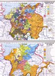
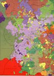
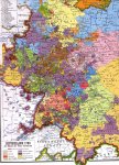
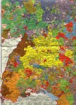
ImperialCircles16thCentury_Thumb.jpg BetweenTheMoselleAndTheRhine1789_Thumb.jpg Germany1789_Thumb.jpg SouthernGermany1789_Thumb.jpg SWGermany1789_Thumb.jpg WesternGermany1789_Thumb.jpg Germany1803_Thumb.jpg Westphalia1803_Thumb.jpg Germany1812_Thumb.jpg

Map of Imperial Circles in the 16th century
Map of Territories between the Moselle and the Rhine Rivers (1789)
Map of Germany in 1789
Map of South Germany in 1789
Map of South and West Germany in 1789 . Code Letters
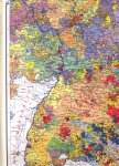
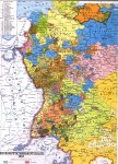
Map of Western Germany in 1789
Map of Germany in 1803
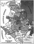
Map of Westphalia in 1803
Map of Germany in 1812

abbreviations
Smaller maps of Germany


Medieval Map of Britain from Chronica Majora by Matthew Paris, ca. 1240–53.
Historical Maps of India - particularly Mysore
Map of Wavre, 1815, by Johnston (0.9MB).
Map of Wavre, 1815, by Siborne (1.9MB).
Spanish Maps of Peninsular War Battles
Netherlands New Guinea, 1916
Index of Illustrations of Costume & Soldiers


Free Web Hosting